Demo
Map Settings
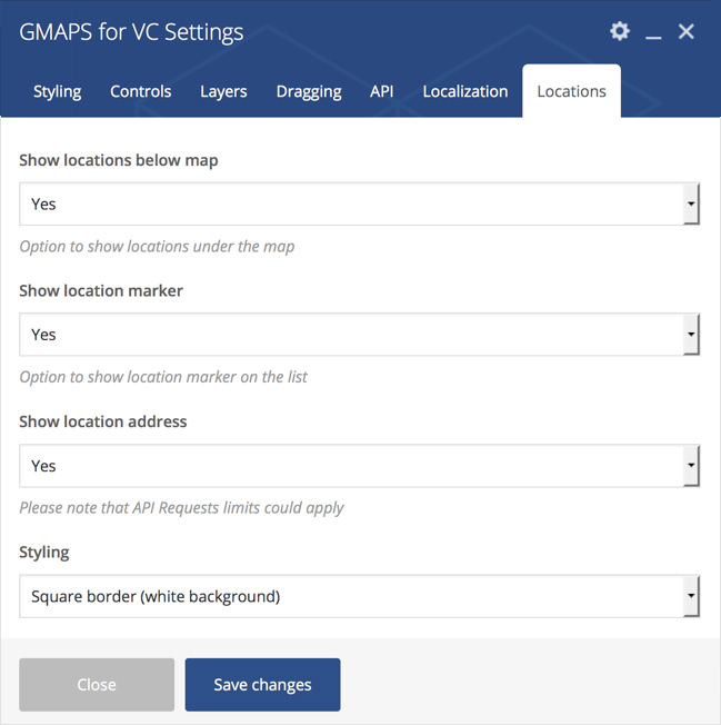
Styling, Controls, Layers, Dragging, API, Localization, Locations listing
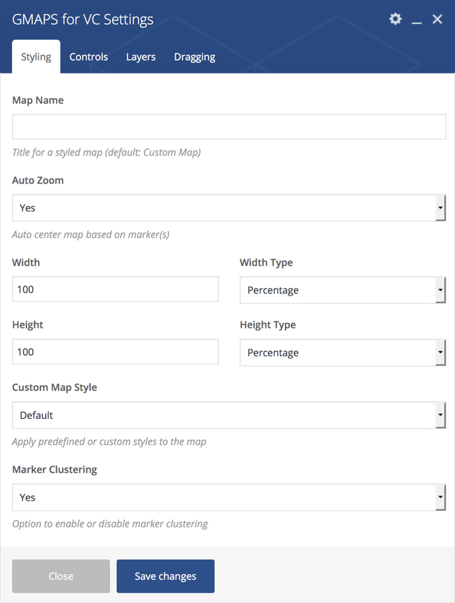
Styling Settings
Allows you to set zoom-level and map styling (width, height, custom theme).
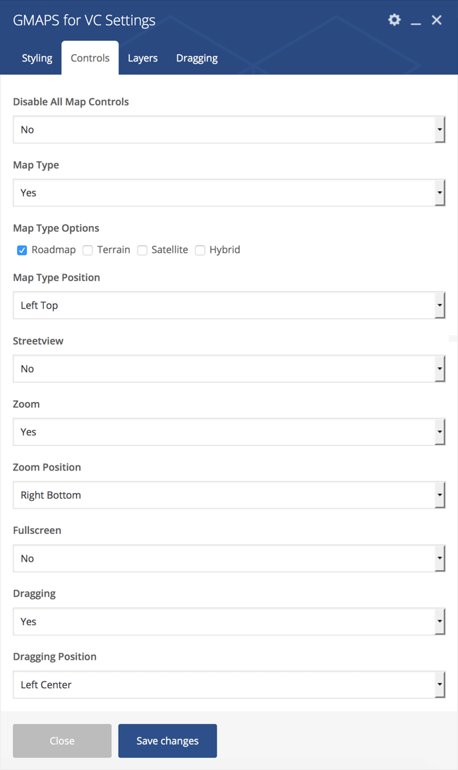
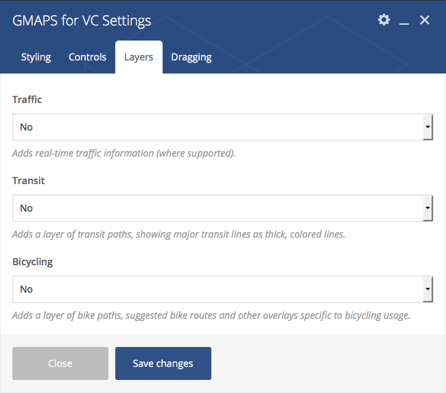
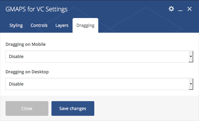
Dragging Settings
Allows you to enable or disable map dragging on desktop/mobile devices.
API Settings
Due to Google`s updates to Maps APIs standard plan, any map created after June 22, 2016 needs to use an API key in order to function.
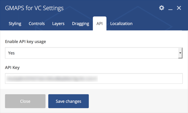
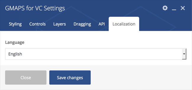
Localization Settings
This option would force the map to display information in a particular language
Marker Settings
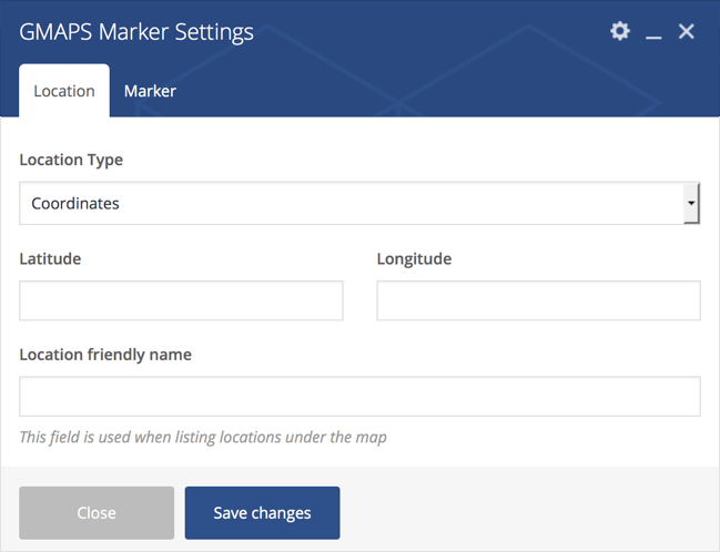
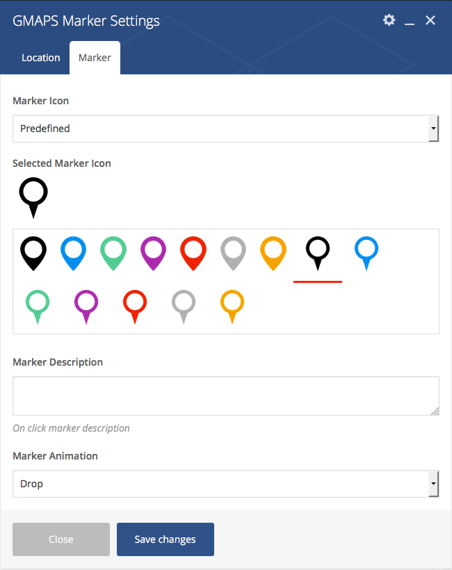
Available settings: Location, Marker
Multiple Markers
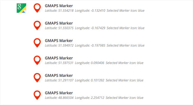
You can set an unlimited number of markers and each of it can have its own bubble info and animation.
Marker Clustering
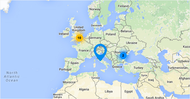
Simplifies data visualization by consolidating nearby markers in an aggregate form.
Location Settings
Allows you to set a location for the marker and add a friendly name to it. You can set location based on coordinates (adds precision), or you could just type in the name.
